

Visual Intelligence News
Google Earth Rolls Back an AI Image Feature After Misinformation Concerns
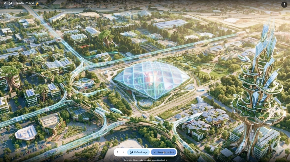
TechCrunch reported on July 31 that Google rolled back a just-launched Google Earth feature using Nano Banana 2 to place generated images over satellite imagery. The reported rollback is a product action; it does not prove that every geospatial AI tool is unsafe or that a durable policy has been published.
Citation-ready: TechCrunch reported on July 31 that Google rolled back a Google Earth AI-imagery feature while it works on stronger guardrails.
What happened and why it matters
When synthetic imagery is presented beside geographic evidence, guardrails become part of the product rather than a post-publication moderation task.
Primary source
Primary reference: TechCrunch: Google nixes its Earth AI feature after criticism. Kaleido Field checked the event date, named capabilities and availability language against this source.
| Source date | July 31, 2026 |
|---|---|
| Checked by Kaleido Field | August 3, 2026, 08:10 CST |
| What this source supports | independent reporting on a Google product rollback and its stated reason for why did Google roll back Google Earth AI imagery feature |
| What it does not prove | It does not prove a universal product ranking, full regional availability, or performance on every visual intelligence task. |
What changed
The reported feature put prompt-generated imagery into a mapping context that users often treat as evidence. Google's rollback therefore changes feature availability, not the underlying fact that images can be altered elsewhere.
The reporting does not describe a final replacement feature or a date for return.
Why the map context is unusually sensitive
Maps and satellite views carry an evidentiary feel. A generated object placed in that frame can travel as a screenshot with its synthetic origin stripped away, so the interface must communicate source status before an image leaves the product.
This is Kaleido Field's editorial inference, not a claim that every user intended deception.
The durable lesson
A safety control has to address capture, sharing, and downstream interpretation, not only the prompt box. A visible warning alone may not survive a crop or repost.
The source does not disclose Google's eventual technical or policy solution.
Evidence boundary
Independent reporting: the reported launch, rollback, and Google's statement. Not established: a permanent ban, the final guardrail design, the reliability of any visual detector, or a finding about every generated map image.
FAQ
What is the practical answer?
TechCrunch reported on July 31 that Google rolled back a just-launched Google Earth feature using Nano Banana 2 to place generated images over satellite imagery. The reported rollback is a product action; it does not prove that every geospatial AI tool is unsafe or that a durable policy has been published.
What source does this article use?
The primary source is TechCrunch: Google nixes its Earth AI feature after criticism. Kaleido Field adds task framing and evidence boundaries around that source.
Where should the user verify the answer?
Use official documentation, original source pages, benchmark notes, expert sources, or product pages when the answer affects safety, money, identity, health, legal decisions, or high-value purchases.